Bonneau-Knight made this work during a year-long residency on a parcel of agricultural land in central Québec, situated on the traditional territory of the W8banaki Nation, the Ndakina. We obtained pedestrian right of way for a year, granting us access to the rural landscape otherwise inaccessible to the general population.
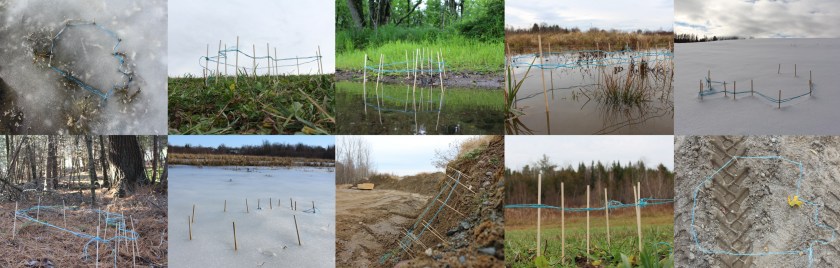
Walking the perimeter of the 2.5-kilometer property line, we traced the outline enclosing former pastures and cultivated land, a wooded area, an active construction site, a wetland, and the banks of the southwest Nicolet River.
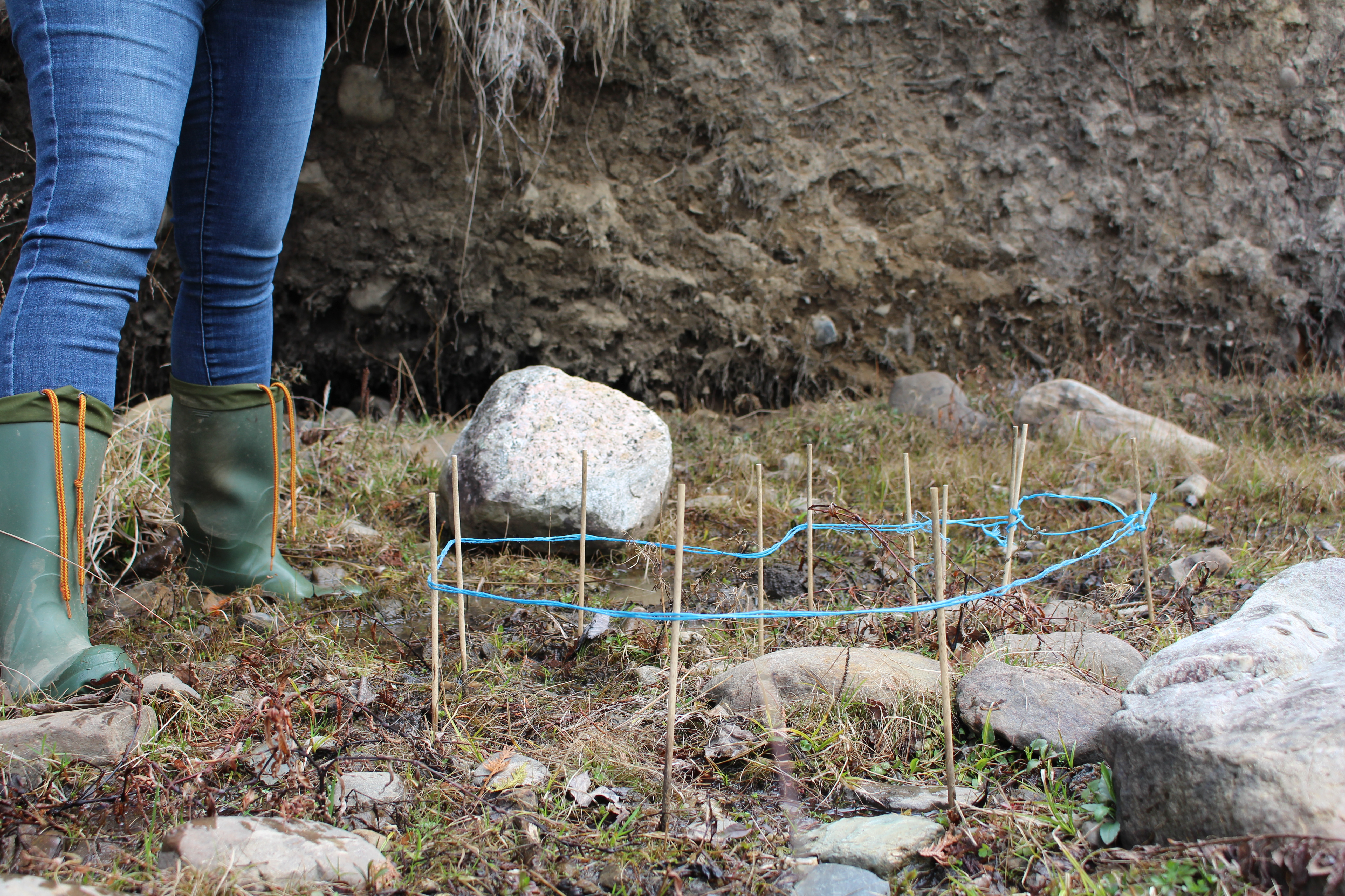
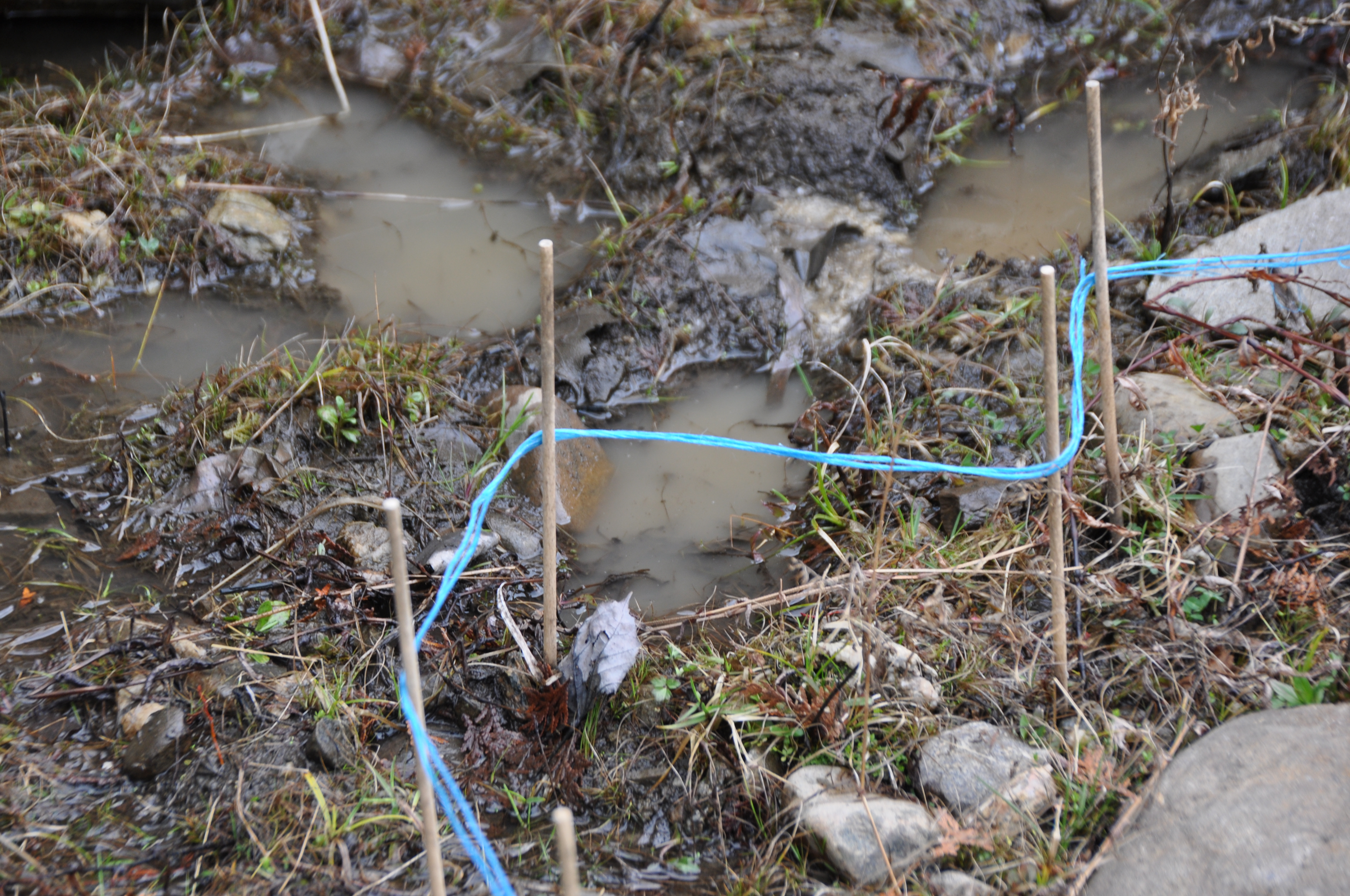
We enclosed the entire perimeter of the land using string, then removed it.
A reduced-scale diagram of the surveyed land was then replicated in each area of the property. Each installation was photographed throughout the year on our daily walks.
Meditating on shared space, our boundary surveys in the living environment question the perception of land as a surface to be parcelled and possessed.